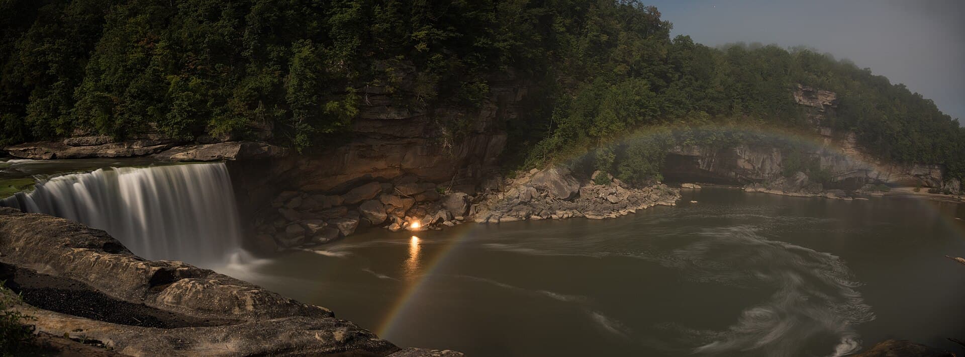
Photo: Design219 / Wikimedia Commons · CC BY-SA 4.0
Interactive moonbow diorama
See why this time works
Scrub the evening, then tap a feature to understand the geometry.
Viewing time7:50 PM
Geometry is workingPhysical score 83/100
5
Moonbow zone
A primary moonbow appears roughly 40–42° from the anti-lunar point. The brighter this arc appears here, the better the modeled bow-to-mist alignment.
Moon altitude23.6°
Bow/mist error0.1°
Mist placement86/100
Cloud transmission64/100
Physical score83/100
This is an explanatory diorama, not a literal camera view. The engine itself uses topocentric Moon position, the 40–42° primary-bow geometry, the cached local skyline and a modeled mist volume at five-minute resolution.
Five-minute engine
Tonight timeline
Nautical twilight ends and the sky becomes dark enough. The Moon climbs above viable primary-bow geometry.
8:00 PMScore 83Physical gates pass
Deterministic
Moon + geometry
Illumination98%
Peak altitude23.6°
Bow error0.1°
Effective skyline 19.9°: 14.5° bare earth + 5° trees/clearance. The primary-bow cone is checked against the modeled mist field.
A ten-year nighttime sky-cover history informs this score. It does not predict clouds on this date.
NOAA NCEI nighttime cloud history2015–2024 London-Corbin nighttime observations; seasonal tendency, not a date-specific forecastnot live
USGS 03404500
River + mist
ADEQUATE MIST
DischargeUnavailable
Seasonal percentile50th
6-hour trendunknown
Flow drives a saturating mist-production proxy. Exceptional flood flow receives a small conservative overspray penalty rather than assuming more water is always better. Wind direction separately estimates whether spray stays in the useful viewing zone.
Factors multiply. Impossible geometry is a hard gate; cloud transmission, mist production and mist placement cannot be averaged away by strong unrelated conditions.
Primary viewpoint
Falls Overlook
Park at the Visitor Center lot, follow signs toward the lower Falls overlooks, and use the Falls Overlook facing the mist below the main drop.
A paved accessible overlook is available from the Visitor Center area. The closest lower platforms include stairs and can be wet after dark.
Open driving directions Platform coordinate mapped from public trail and aerial data; verify posted park routing on arrival.
35
CLIMATOLOGY / PLANNING
Forecast confidence
Moon geometry and the cached local skyline are deterministic
Weather is intentionally replaced by seasonal planning context beyond seven days